Talk:United States
Jump to navigation
Jump to search
Map
So, I've taken some screenies, merged them and superimposed them over a 20th/21st Century map off 'kipedia. I still have the component files if someone wants to try doing better (which is certainly possible). Anyway here it is:

It's interesting to note that Canada, where it should be visible, is water coloured. - Quolnok 23:51, 23 May 2008 (PDT)
- Well... in Spanish Fry the provinces of Canada are clearly made out. Hell, I think a good part of that episode takes place in British Columbia or at least near there. If anything, we could use that map and then apply the names ourselves with the ImageMap extension for the wiki. --SvipTalk 02:38, 24 May 2008 (PDT)
- Here:
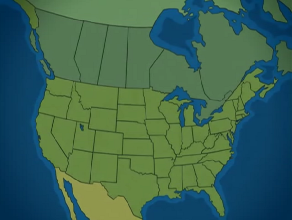
- As you can see, the states and provinces are clearly made out, complete replica of what they are today. --SvipTalk 02:48, 24 May 2008 (PDT)
